


A transparent PNG illustration of the typhoon’s path and a map of Japan.
Before downloading, please check the terms of use.
High resolution and EPS data are on sale at the following site.
PIXTA Adobe Stock\Participating in illustration ranking/
Related illustrations
 Weather forecast that tells the path of the typhoon
 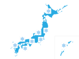 A free illustration of a map of Japan with a snow symbol displayed in the nationwide weather forecast.
  A free illustration of a map of Japan with a rain symbol displayed in the nationwide weather forecast.
  Free illustration of Japan map 04 with a sunny mark displayed in the nationwide weather forecast
  Free illustration of Japan map 03 with a sunny mark displayed in the nationwide weather forecast
  Free illustration of Japan map 02 with a sunny mark displayed in the nationwide weather forecast
  A free illustration of a map of Japan with a sunny mark displayed in the nationwide weather forecast.
 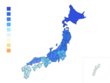 Free illustration of a map of Japan showing low temperatures across the country
 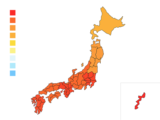 Free illustration of a map of Japan showing high temperatures across the country
  Illustration set of various weather icons
  Free illustration of wind icon
  Free illustrations of typhoon wind and rain
  Free illustration of an umbrella turned inside out by strong winds
  Free illustration of a single-family house suffering from flooding during a thunderstorm
  Free illustration of a detached house suffering from flooding due to heavy rain
  Free illustration of a map of Japan with prefectures displayed
  Free illustration of cloudy cloud icon
  Free illustration of umbrella and rain icon
  Free illustration of office building 06 that suffers flood damage due to thunderstorms
  Free illustration of a house 07 that suffers flood damage due to thunderstorms


